Peak District - Higger Tor - 12th June 2010
Location: Peak district, Hathersage moor
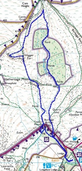
Route: Longshaw visitor centre car park, Toads mouth, Carl Wark, Higger Tor, Burbage brook
Map: The Peak District Dark Peak Area - OL1
Route distance: 4.5 miles
Route time: 1.39 hours
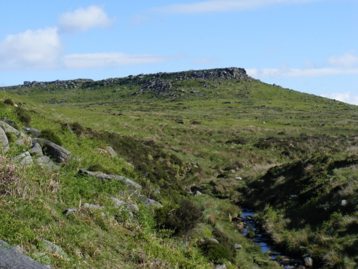
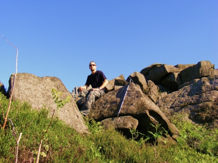
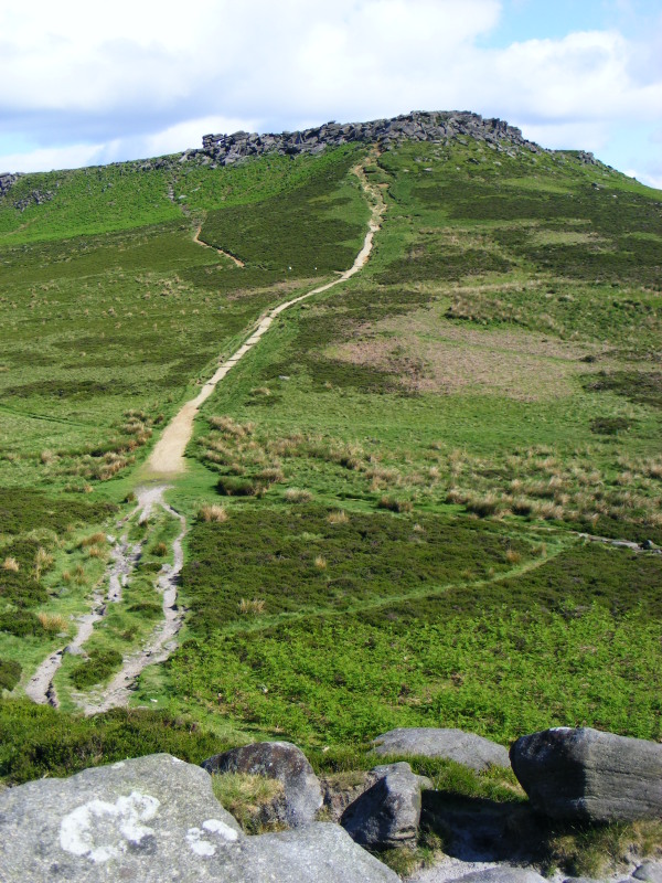
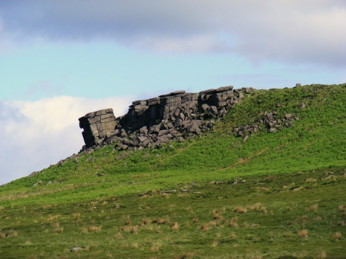
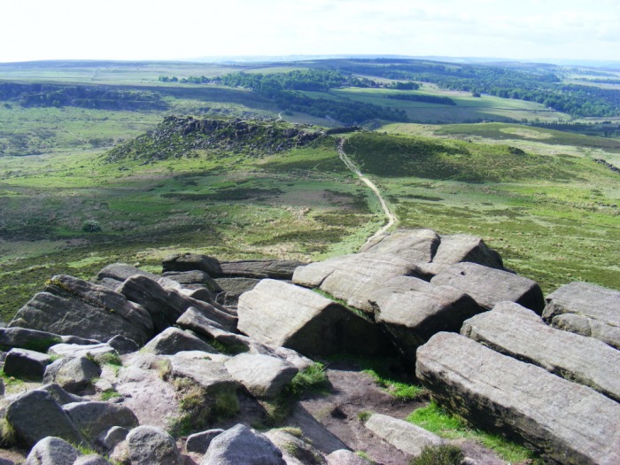
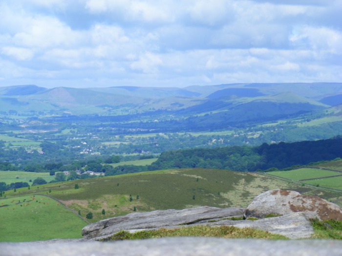
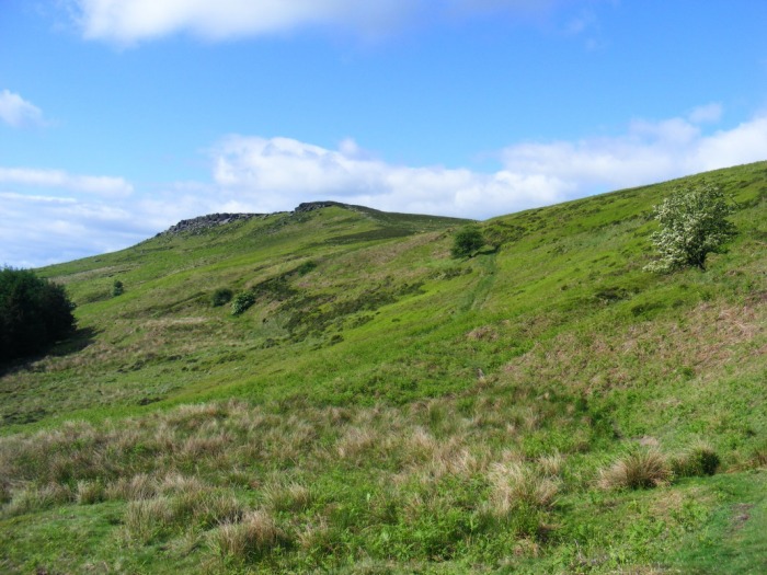
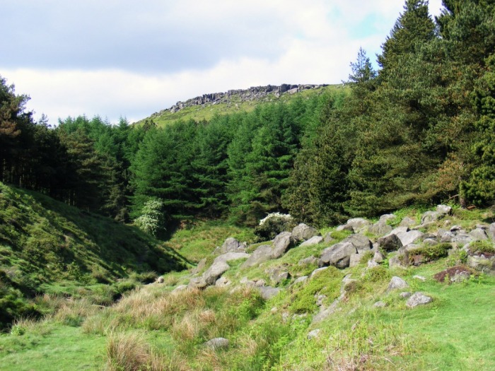
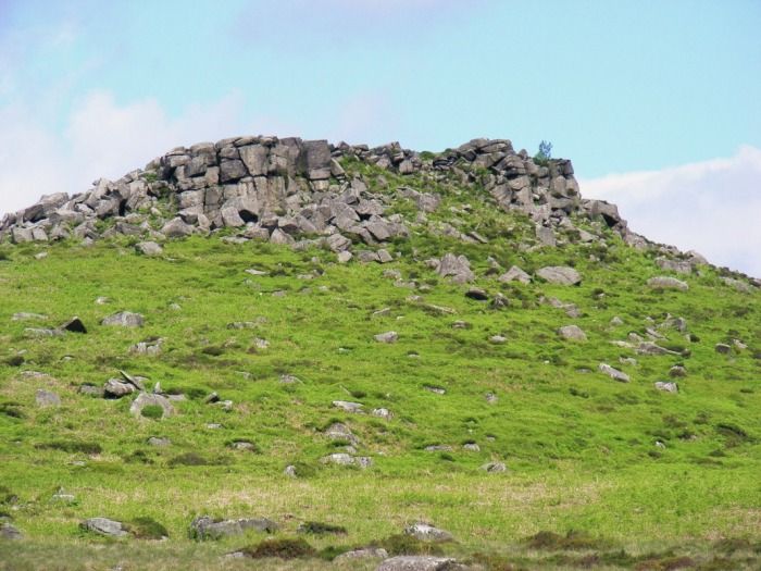
Walk description: A pleasant walk with no real steep ascents. Starting off in the national trust car park just off owler bar road B6055, I made my way to burbage bridge and followed burbage brook until the path veers off up towards Carl Wark. I scrambled up the boulders onto the top of Carl Wark and made my way to north west corner of Carl Wark then headed down the path to Higger Tor. After scrambling up the boulders onto the summit of Higger tor I had a look around, checking out the fantastic views then made my way down to Burbage brook. I followed the path along the side of Burbage brook through the woods and finally back to the car park.
See photos from the walk and route map below.
Route: Longshaw visitor centre car park, Toads mouth, Carl Wark, Higger Tor, Burbage brook
Map: The Peak District Dark Peak Area - OL1
Route distance: 4.5 miles
Route time: 1.39 hours
Walk description: A pleasant walk with no real steep ascents. Starting off in the national trust car park just off owler bar road B6055, I made my way to burbage bridge and followed burbage brook until the path veers off up towards Carl Wark. I scrambled up the boulders onto the top of Carl Wark and made my way to north west corner of Carl Wark then headed down the path to Higger Tor. After scrambling up the boulders onto the summit of Higger tor I had a look around, checking out the fantastic views then made my way down to Burbage brook. I followed the path along the side of Burbage brook through the woods and finally back to the car park.
See photos from the walk and route map below.
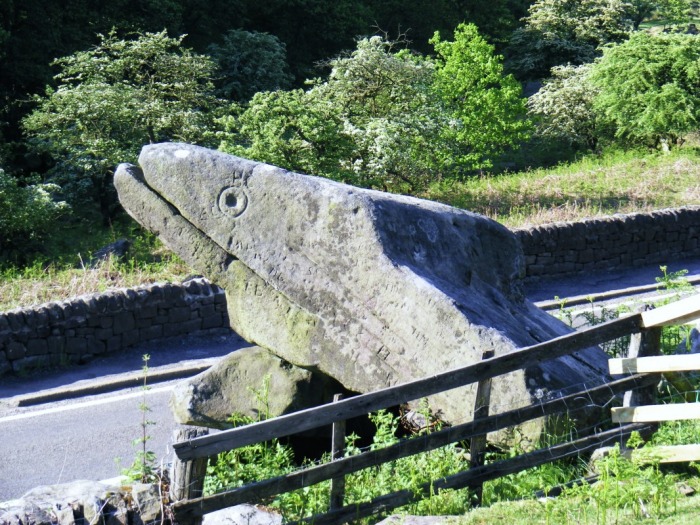
Photo Gallery


Route map