The Lake District - Scafell Pike via Eskdale - 27th August 2010
Location: The Lake district, Cumbria
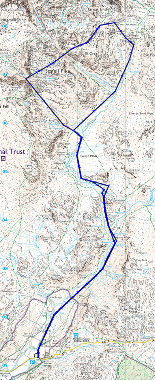
Route: Brotherilkeld, Lingcove Bridge, Great Moss, Tongue, Scafell Pike, Mickledore, Great Moss, Brotherilkeld
Map: The English Lakes, South Western Area - OL6
Route distance: 12 miles
Route time: 9 hours
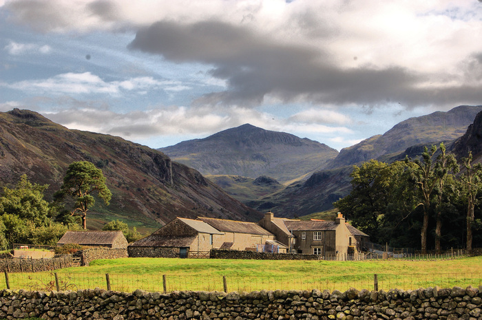
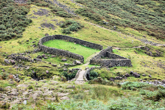
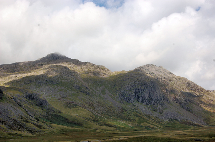
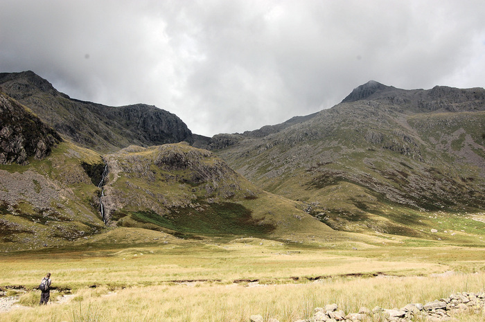
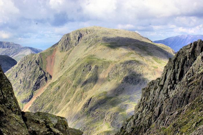
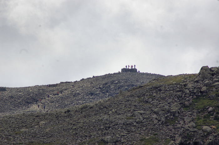
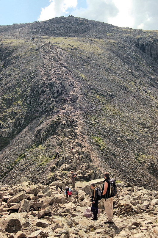
Walk description: We started off at the car park at the bottom of Hardknott pass at Brotherilkeld then followed the river Esk, crossing Lingcove bridge. Following the river Esk over Great Moss towards Esk Hause we decided to leave the path and take a short cut via Tongue past an un-named tarn to the path that leads to Great End from Esk Hause. We then turned west across the boulder laden path to Scafell Pike summit. We left the summit via Mickledore and a steep descent of Cam Spout Crag to rejoin the path next to the river Esk at Great Moss and back to Brotherilkeld.
See photos from the walk and route map below.
Route: Brotherilkeld, Lingcove Bridge, Great Moss, Tongue, Scafell Pike, Mickledore, Great Moss, Brotherilkeld
Map: The English Lakes, South Western Area - OL6
Route distance: 12 miles
Route time: 9 hours
Walk description: We started off at the car park at the bottom of Hardknott pass at Brotherilkeld then followed the river Esk, crossing Lingcove bridge. Following the river Esk over Great Moss towards Esk Hause we decided to leave the path and take a short cut via Tongue past an un-named tarn to the path that leads to Great End from Esk Hause. We then turned west across the boulder laden path to Scafell Pike summit. We left the summit via Mickledore and a steep descent of Cam Spout Crag to rejoin the path next to the river Esk at Great Moss and back to Brotherilkeld.
See photos from the walk and route map below.
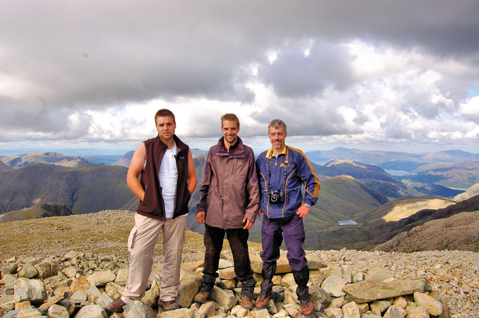
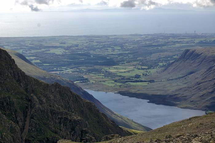
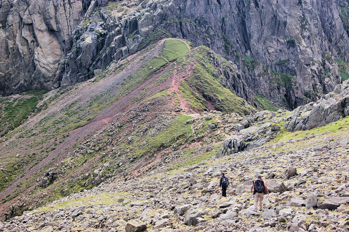
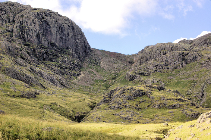
PHOTO GALLERY

ROUTE MAP